Reading the hill · Guide 2026
The stairways of Montmartre
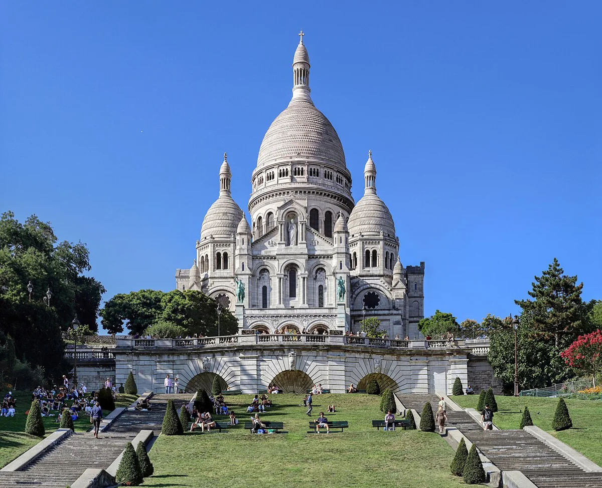
Stairways explain the topography as much as they provide famous views. They connect streets at very different levels, concentrate foot traffic and become difficult in rain. This route is for people comfortable with steps, but also explains how to shorten or replace it, since a photogenic staircase should never be presented as the only way to understand the hill.
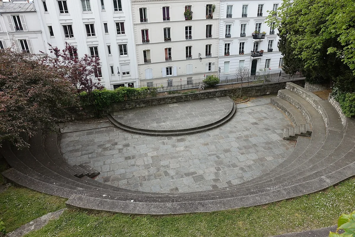
Date listed by the source: 2017-02-17. Resized and converted to WebP. This image does not establish the venue’s present condition.
The short answer
What matters before you go.
Begin with a short climb on the northern slope, link no more than two major stairways, then cross on a near-level street. Descend rather than climb the longest flights and keep the funicular or bus as a fallback. On wet ground, reduce the number of steps and use the handrail.
Action plan
The route,
step by step.
Times and order are guideposts. Always adapt the visit to crowds, actual access and your group’s energy.
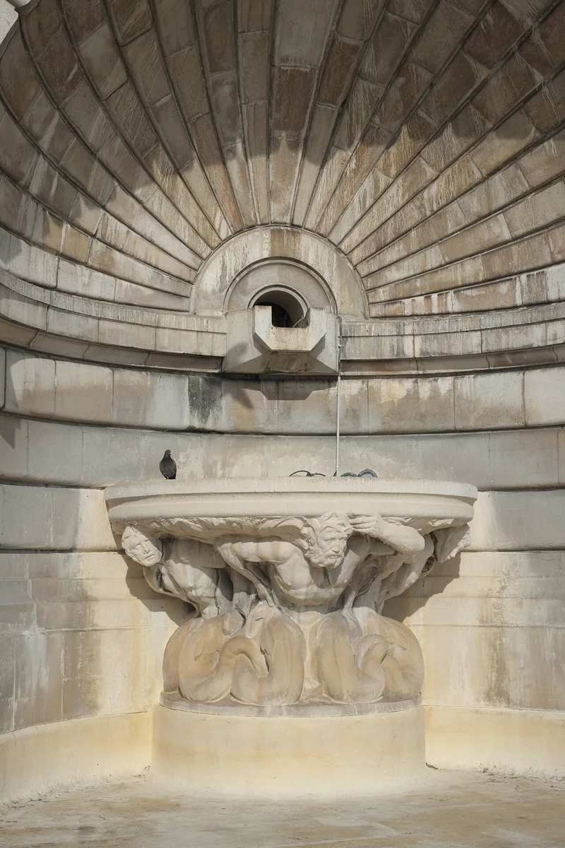
Fontaine-du-But
This first sequence immediately reveals the terrain. Climb at your own pace without stopping in the middle or occupying the full handrail.
Pierre-Dac and Girardon
Alternate steps and streets to recover. Observe retaining walls and how stairways shorten the winding route.
Summit and descent choice
At the summit, choose a descent suited to your energy. The funicular avoids the main square Louise-Michel steps, subject to service.
Abbesses or Anvers
Finish near transport rather than adding one last staircase for a photograph. Check lifts and disruptions if you rely on them.
Understand more · choose well
Read the hill before choosing a street.
A short line on the map can combine steps, slopes and cobbles. Build a walk around an arrival point, a chosen ascent and an exit; this helps more than a list of sights to tick off.
The summit: save your energy
Place du Tertre, rue Cortot and the Sacré-Cœur forecourt connect on foot. Crowds may slow progress. Keep an option to leave the busiest streets and avoid making the summit your last stop if you need a quick departure.
The northern side: another perspective
Rues de l’Abreuvoir, des Saules and Saint-Vincent reveal gardens, vines and façades. A quieter street is not necessarily flatter. Check the return route before descending and keep residential entrances clear.
The foot of the hill: a place to finish
Abbesses, Blanche and Anvers are separate landmarks. Choose an exit to suit the rest of your day, then check the actual journey on a transport map. For mobility requirements, verify each segment: a street without steps can still be difficult.
Useful trade-offs
What really changes the visit.
Keep hands free
Put away phone and bottle on steep flights; use the handrail without blocking movement.
Descend carefully
Descending affects knees differently and becomes slippery when steps are wet.
No obligation
Sloping streets, bus 40 and the funicular make a rich visit possible without collecting staircases.
Practical questions
Before confirming the route.
Is this route suitable for pushchairs?+
No. Use continuous streets, the bus or funicular and avoid carrying a pushchair on major stairways.
Can all steps be avoided?+
They can be greatly reduced, but gradients, pavements and service status need planning. The site’s accessible guide offers a more suitable method.
Check on the day
Official and practical sources.
Hours, outages, works, prices and access conditions change. For any important requirement, check the relevant source and contact the venue directly.